After some uncertainty about the setup and the infrastructure of the first ESRI MOOC on the linkedin group and on the ESRI forum I was able to go through the first week of the ESRI MOOC today. So what you may expect?!
The MOOC in General
The MOOC is taking place in three different places:- Udemy for the content presentation and parts of the quizzes
- ArcGIS online for the webmapping/analysis part
- GeoNet for some discussions and questionnaires
This is on one hand very disturbing as you always switch the frameworks and you need several logins for all the websites. Otherwise the Udemy interface is very clean and intuitive, the ArcGIS online service fast and state-of-the-art. So you use the technology you can use best for a special purpose.
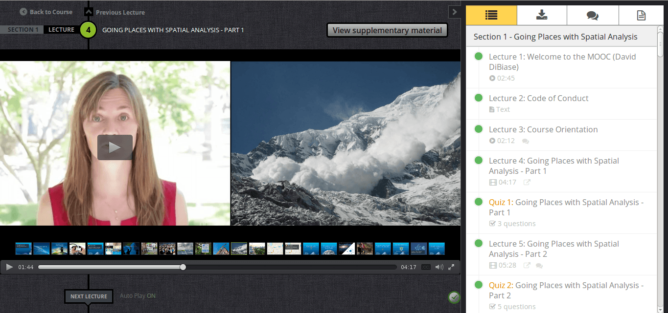
The first week was filled with some videos, two texts, some quizzes and two easy tutorials with ArcGIS online…
The MOOC Content
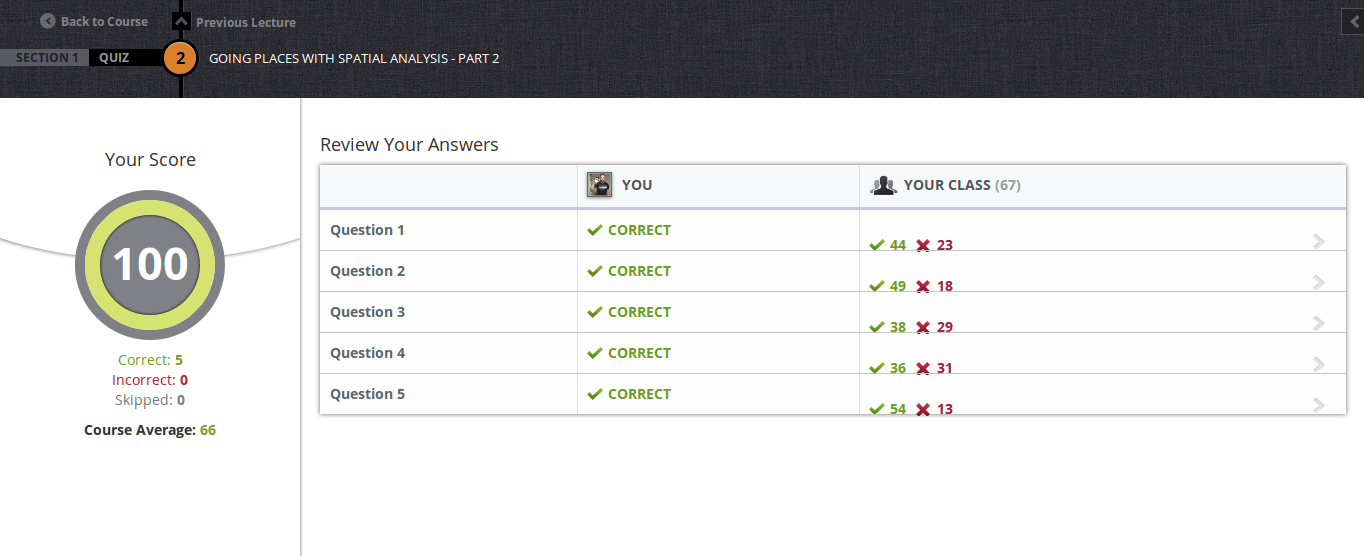
The first videos were more informative but clearly showed that this MOOC is not for faint hearted people. After a first introduction to same basic concepts like the layer concept, the GIS in general, the possibilities with raster and vector data and “what is a model” you were confronted with two different quizzes which already show that this MOOC might be a challenge for one or the other participant:
To me it was quite challenging to follow each word of the videos but you always find a nice section with supplemental material which will help in understanding the basic concepts and terms.
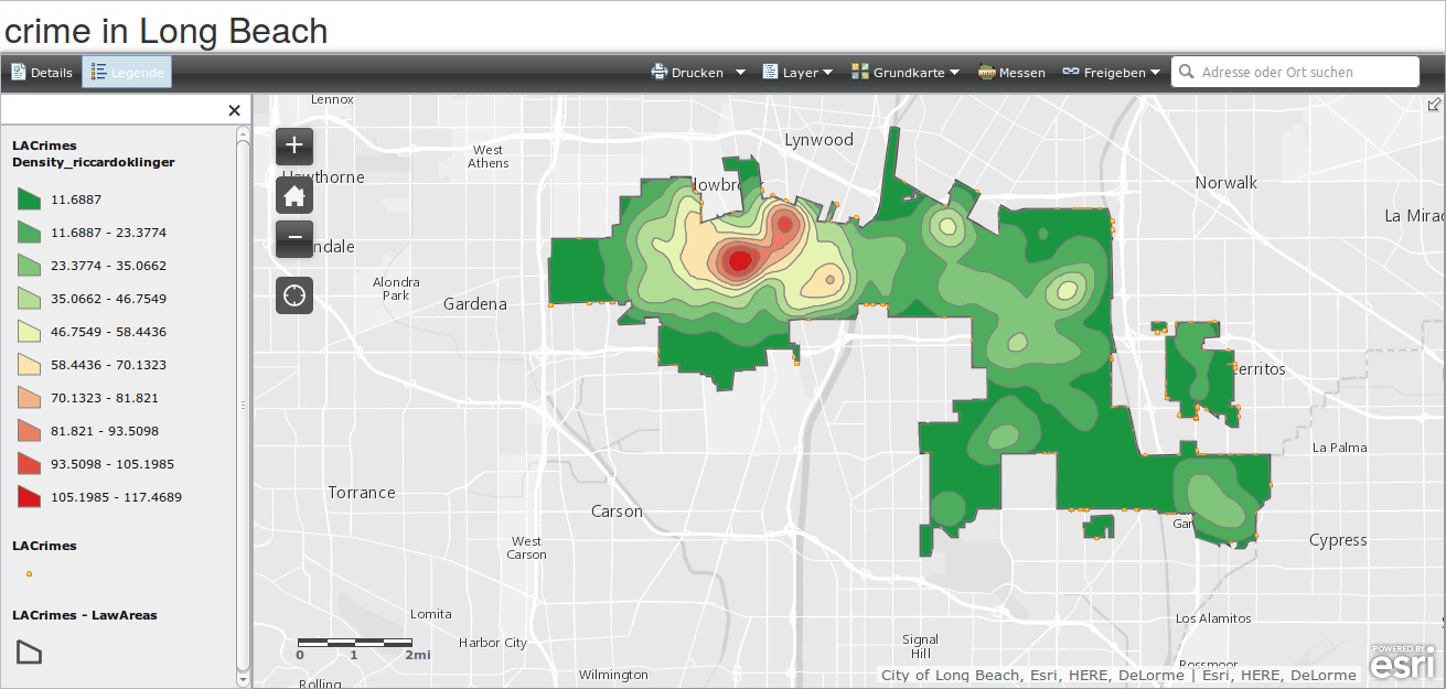
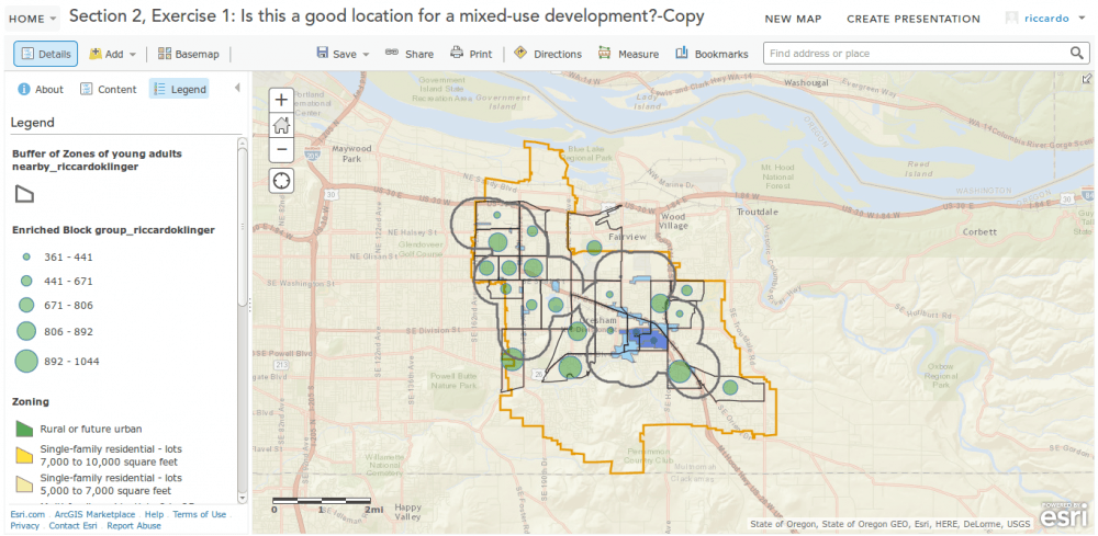
Doing Webmaps
The ArcGIS online interface is fascinating and very promising. At the moment you will learn how to deal with a attribute table, use filters and define some advanced layer symbology for a generalized world countries shapefile. Here is my result for the first week. I’ve played around a little with the colors and the popup content:
I am excited and curious about the next week and the discussions on geonet.


I can conform what Riccardo summarized about the MOOC. At the beginning it’s very confusing with all the accounts for the different portals but the main lecutre is based on the udemy-platform which is very modern and smooth.
In my opinion the videos about the basic principles of GIS, Vector, Raster, Layers and models are too fast for people without previous knowledge in GIS.
The practical work on ArcGIS Online is constructive and easy to complete, supported with detailed tutorials.
I’m also excited for the next weeks.
I must admit, part of my reason for signing up for the MOOC was to see if ESRI could create a good MOOC. When it was announced without a start date, I scoffed a bit. Why be shroud everything in mystery? Now that the MOOC has begun, I have been really impressed. Even though figuring out the multiple accounts situation has been a little frustrating (I’m not sure how many accounts or usernames or emails I have associated with ArcGIS.com at this point, but that’s a subject for another discussion), I still think they’ve put together are pretty good MOOC… Read more »
Hi Ryan, thanks for your comment.
I agree with you regarding the quality! For the first week it was a very good course and I really like the Udemy interface as well. Yet I don’t understand why there are quizzes on udemy and polls on geonet. Furthermore why there are two forums for interaction: the linkedin group and the geonet forum.
I am still interested in exploring ArcGIS online and looking forward the next week.
What is most exciting: the course seems definitely not for beginners, which is quite uncommon for a MOOC.