
28 September 2016
Ísland: Volcanoes
Posted by Jessica Ball

Eyjafjallajökull from the ring road
If you’re a volcanologist – or really any geology buff who appreciates volcanoes – Iceland is flat-out paradise.
It’s a bit like visiting Hawaii, in that you can’t avoid the volcanoes (or eldfjöll) – from the moment you step off the plane, you are in the realm of volcanism. Iceland was formed by volcanic activity over both a mantle plume and the Mid-Atlantic Ridge, and from its beginning the island has been shaped by fire and ice. You can’t not see it in the landscape. This was especially evident in 2010, when Eyjafjallajökull had a relatively minor eruption whose effects were anything but. On our way around the island, we had the chance to view the volcano from a number of locations, including the Fimmvörðuháls (Five Cairns) hiking trail above the Skógafoss (waterfall). The trail is fantastic – it winds past what must be dozens of waterfalls along the Skóga river.
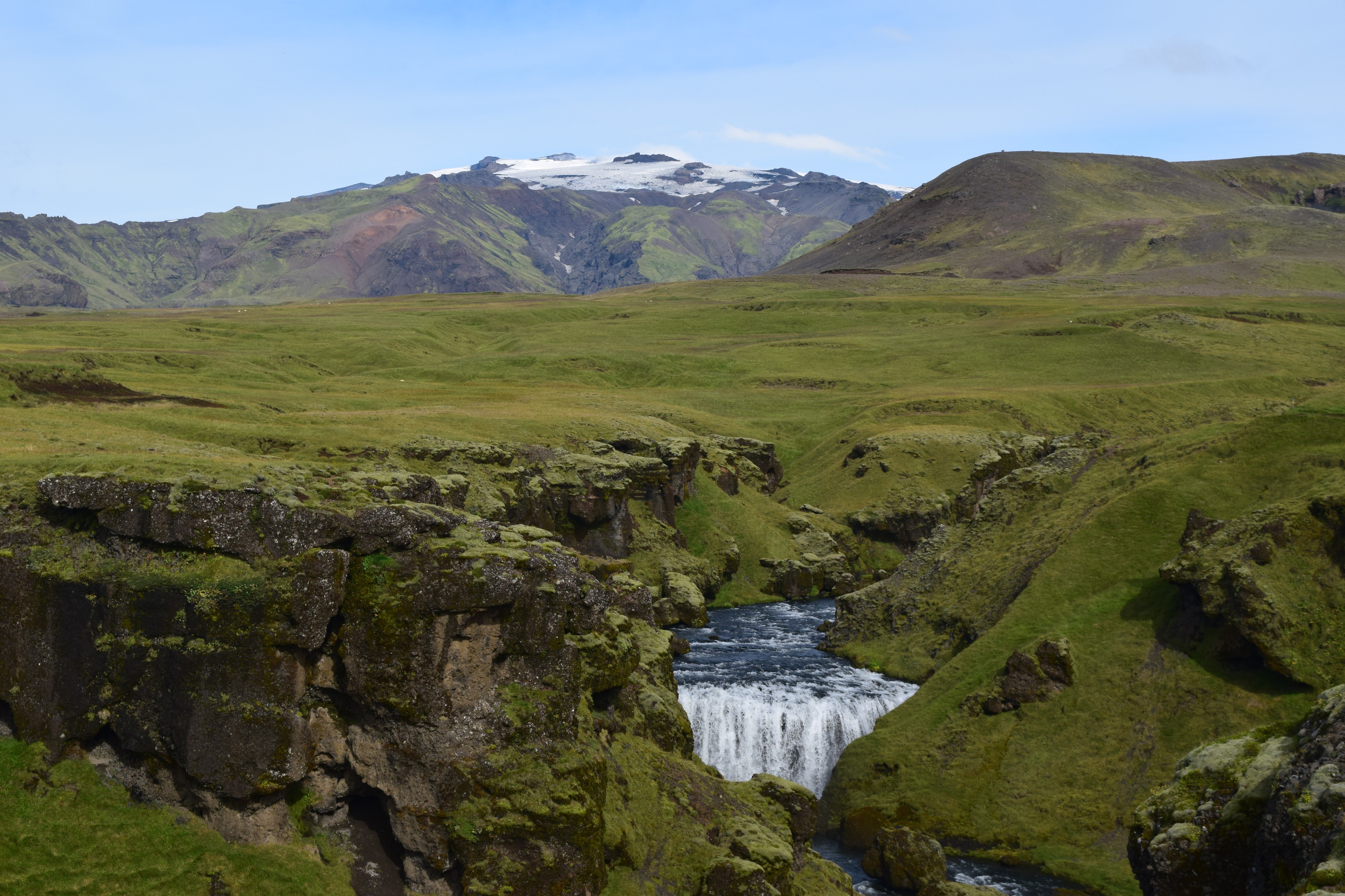
Hiking the Fimmvörðuháls trail with Eyjafjallajökull in the distance
The Eyjafjallajökull eruption was a reminder to Europe that volcanoes on an island not very near the continent could have profound – and devastating – effects on air travel and commerce. While the effects of the effusive portion of the eruption were only locally felt, the explosive phase (rated at a VEI 4, which is lower on the scale than Mount St. Helens in 1980) injected ash high enough into the atmosphere that it reached the jet stream and was easily carried over Europe and a good chunk of Russia. Even a little ash can damage a jet engine, making it extremely ill-advised to fly around ash plumes, and the resulting shutdown in air traffic stranded a lot of people for days.
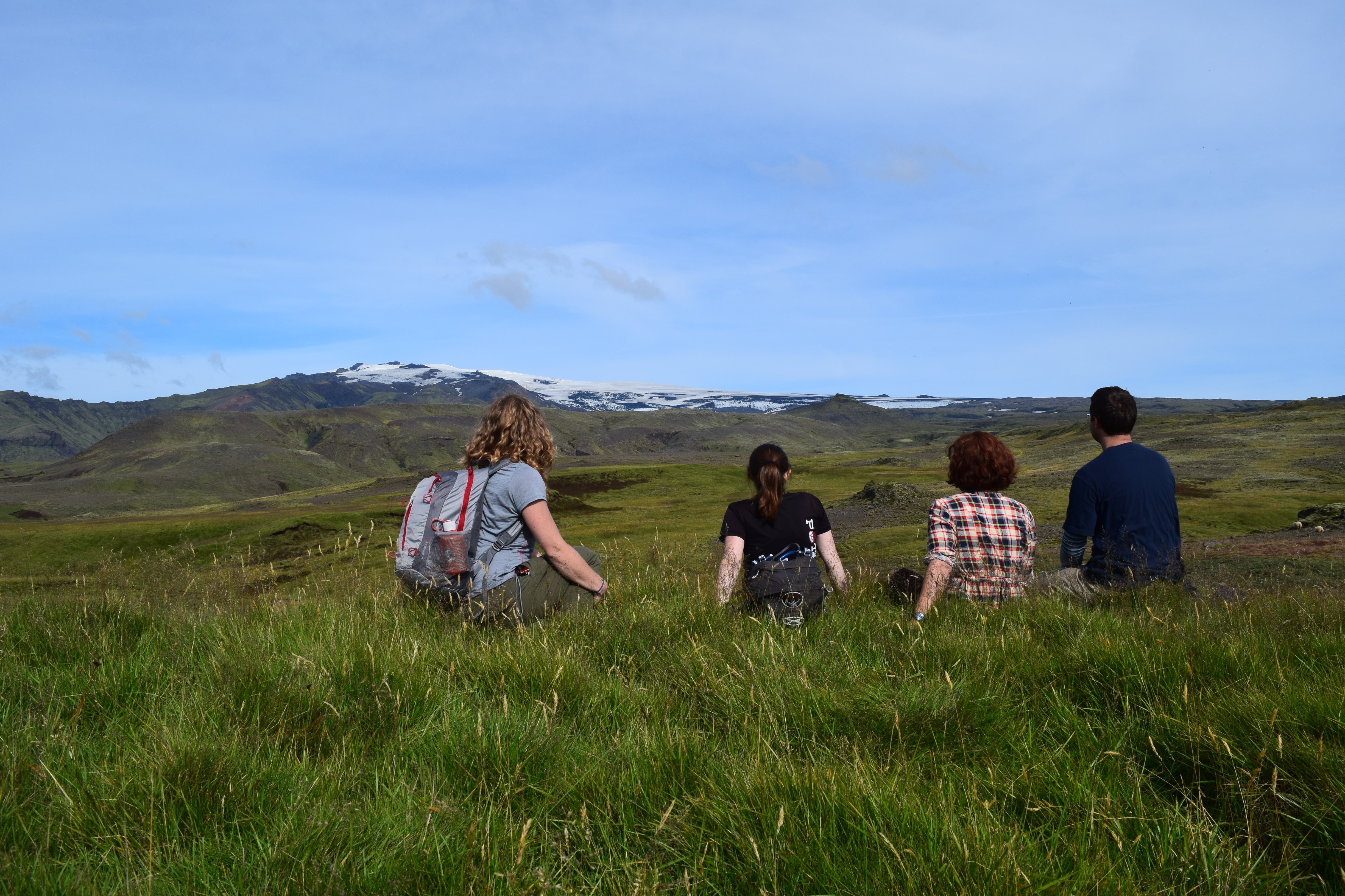
Lounging among the sheep
It was hard to pick out specific deposits, but we found quite a bit of fresh-looking ash along the Fimmvörðuháls trail, and had we continued the full 25 km rather than just a few, we probably would have seen plenty of evidence of the eruption. Back out on the coast there’s a small education center where you can go watch videos and learn about the eruption, but we opted to save our krónur and just looked at the informative signs instead. (Also, being geologists, we had a pretty good idea of what happened already, since we’d followed the eruption as it happened!)
On our half-circumnavigation of the island, we stopped for a little while to get a look at the Vestmannaeyjar archipelago. For a volcanologist, this is the site of two ‘legendary’ events: the eruption of the Eldfell volcano in 1973 that nearly choked the port of Heimaey with lava flows, and one of the youngest volcanic islands in the world, Surtsey (‘born’ in 1963 – 53 years old this November!). The Eldfell eruption is significant in that it represents one of the few attempts to divert lava flows (using large cannons of seawater). While there’s debate about whether it was effective or whether the supply of lava just happened to slow down at that time, it’s no less momentous for what the town tried to do. Surtsey, on the other hand, didn’t directly affect people’s homes or livelihoods, but it was a form of volcanic activity that no one had ever documented in detail before: the phreatomagmatism that occurs when a new volcanic island breaks the surface of the ocean. This kind of explosive activity is eventually what will happen at Hawaii’s Lōʻihi seamount – but probably not for a few tens of thousands of years or so.
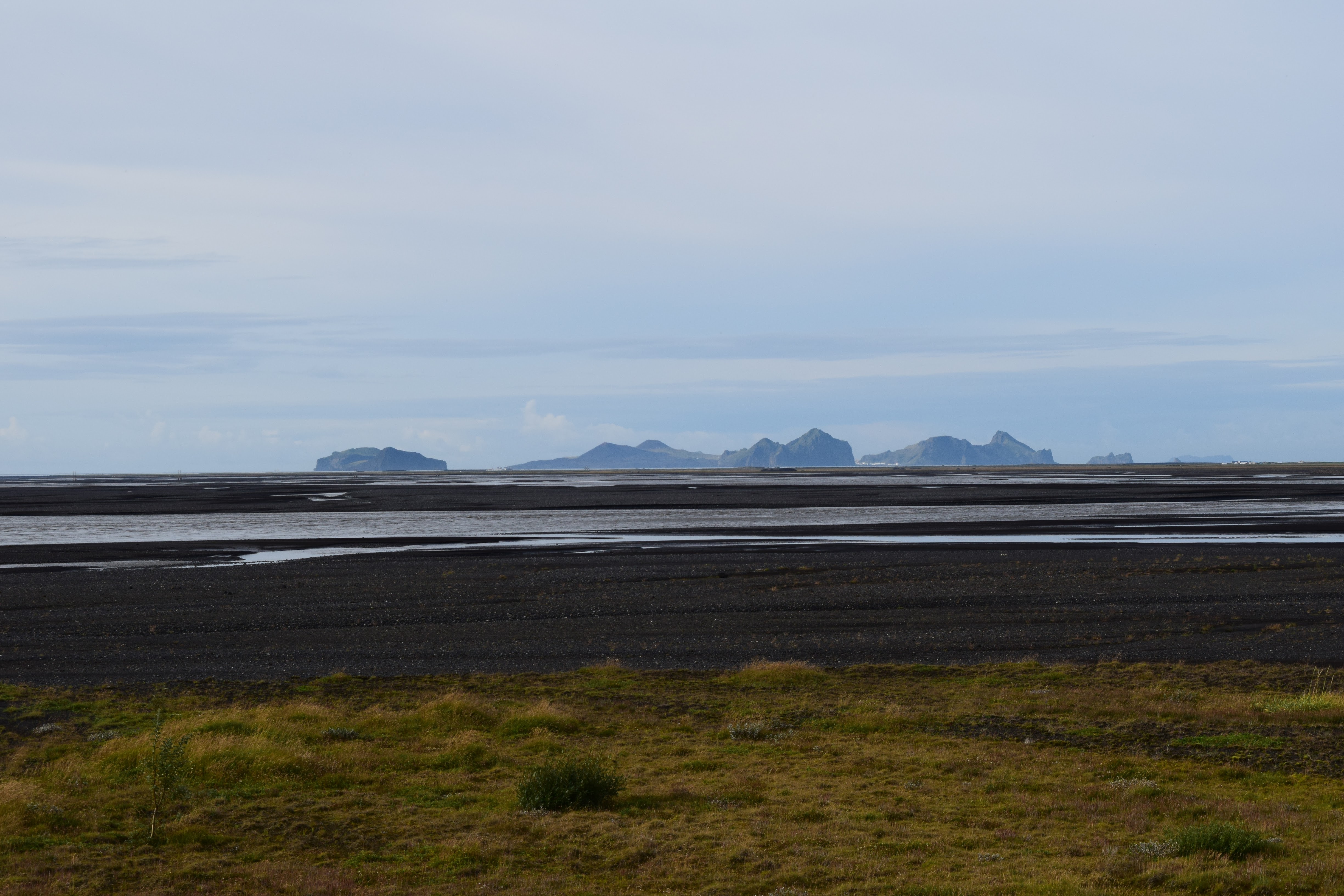
The Vestmannaeyjar archipelago (home of Eldfell and Surtsey – the very faint island on the right)
We actually returned to the area west of Eyjafjallajökull for several nights of our trip, and stayed at an isolated home in the valley northeast of Hella. If you like views and horses, this is the place for you – especially since one of the views is of Hekla, one of the most active volcanoes on the island. It used to have the name “Gateway to Hell”, but our glimpses of the mountain were anything but hellish.

Hekla from our country retreat. The name itself means “hooded” or “cloaked”, which might refer to the cloud cover you commonly see there
Hekla is known for being aseismic until a few hours prior to eruptions, which means it doesn’t give much warning in the form of earthquakes that magma is moving to the summit. The last eruption was in 2000, but in 2013 there was inflation and some seismic activity that prompted eruption warnings. Since research on the 2000 eruption has shown that Hekla can produce pyroclastic density currents and Hekla is a common tourist destination, the Icelandic Met Office is very on top of issuing warnings about visiting the area.
Because we were in amongst the horse farms to begin with, we decided to take a riding tour that included views of Hekla. It was a great decision, and we had a number of great views of the volcano from the backs of our pony-sized mounts.
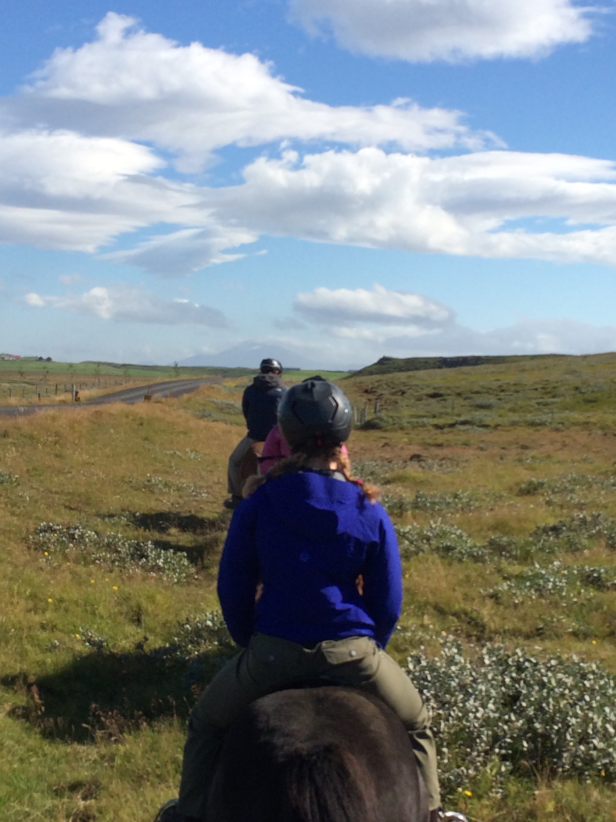
Hekla from horseback
There are even more volcanoes in other parts of the island, of course. Vatnajökull National Park – which is mostly covered by the big ice cap – encompasses several volcanoes. Bárðarbunga was the most recently famous for a fissure eruption in 2014-2015, but Grímsvötn is the most active, and responsible for the recurring jökulhlaup (glacial outwash floods) that make it necessary to replace the bridges on this part of the ring road every so often. Öræfajökull (the highest point in the photo below) has only erupted twice since the 9th century, but it towers over the many glaciers coming off the ice cap.
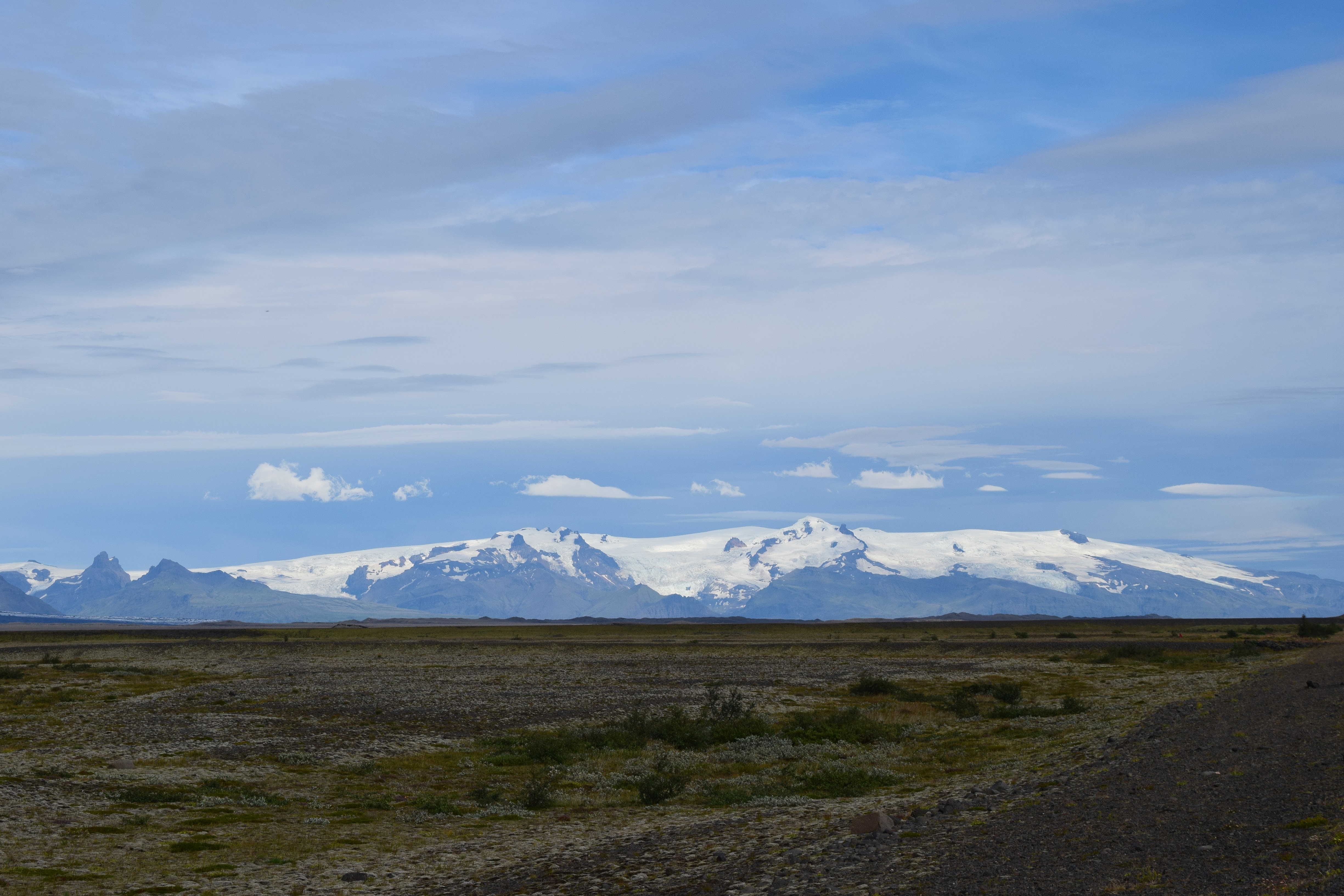
Vatnajökull National Park
But not all the volcanoes in Iceland are dangerous. Some are quite yummy, as we found out in Höfn:
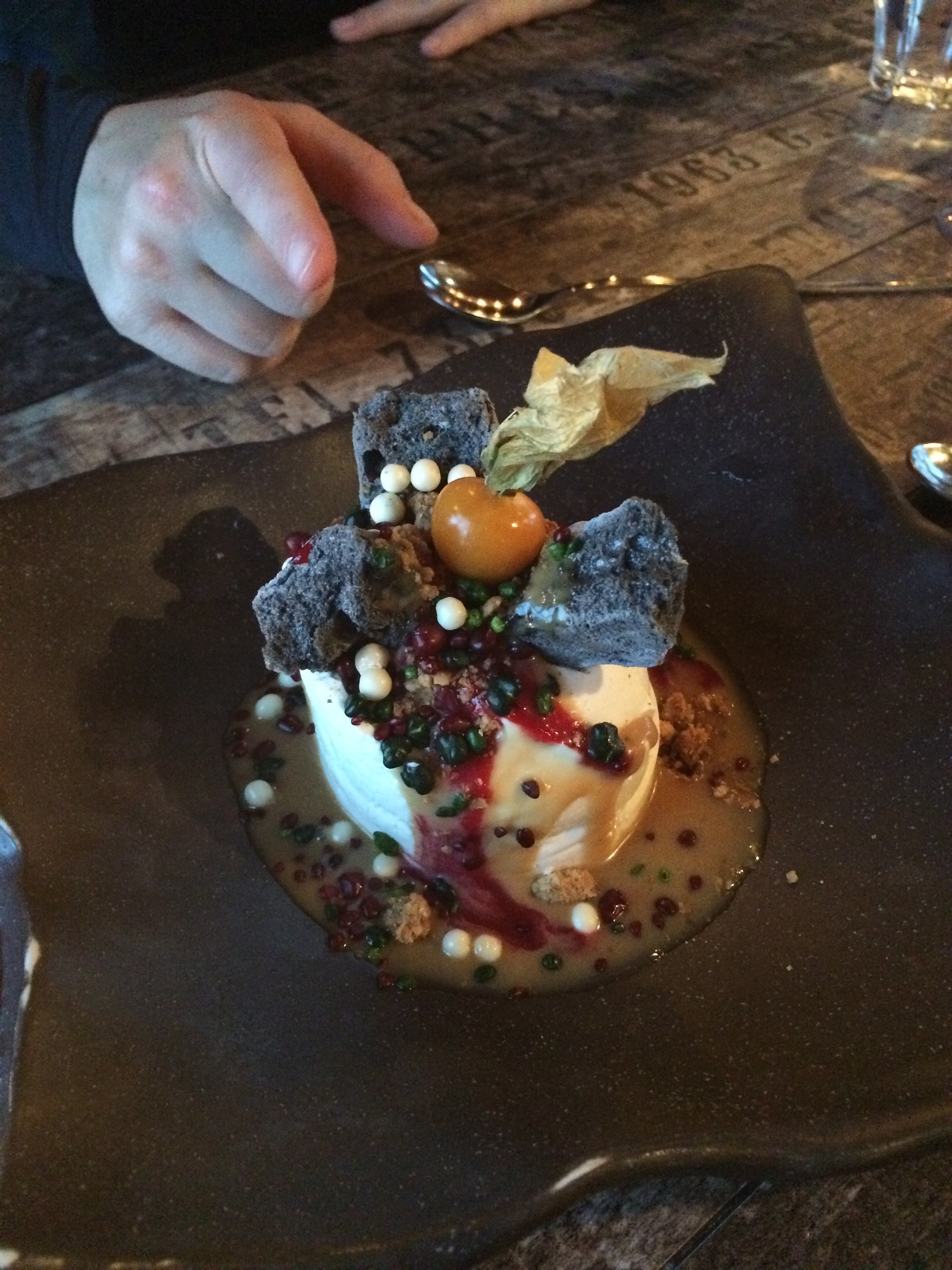
The skyr volcano dessert at Pakhaus in Höfn. (With sponge candy lava and pop rock ballistics!)
 Jessica Ball is a volcanologist at the U.S. Geological Survey, researching volcanic hydrothermal systems and stability, and doing science communication for the California Volcano Observatory. She previously worked at the Geological Society of America's Washington DC Policy Office, learning about the intersection of Earth science and legislative affairs. Her Mendenhall postdoc and PhD focused on how water affects the stability of volcanoes, and involved both field investigations and numerical modeling applications. Her blogging covers a range of topics, from her experiences in academic geosciences to science outreach and communication to her field and lab work in volcanology.