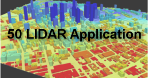
LiDAR is one of the current trends and fast-growing technology in Civil Engineering. Fundamentally, the knowledge of LiDAR is beneficial in improving the quality and productivity of any given project. The technology offers 3D and high-resolution representations of datasets critical in civil engineering works. Therefore, LiDAR technology is essential in the civil engineering field. Below are some typical applications of LiDAR technology in civil engineering.
1. Planning
Planning is a vital phase in all civil engineering projects. This phase is dependent on other tools and technology to achieve its goal. LiDAR is one of the planning tools. Here, LiDAR technology helps collect site data and other required information.

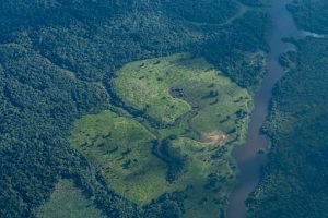
2. Ecological Land and classification
In civil engineering, classification is a critical component. Several classifications are performed on the selected site to check its suitability. Ecological land and classification is an excellent example of civil engineering-related classification. In this classification, the engineers classify the biological and physical information of the selected site. LiDAR has proved to be a powerful tool for collecting spatial data required in the classification process.
3. Elevation model
Elevation models define the gradient of the site in question. To determine the gradient of the land, civil engineers use LiDAR technology tools to check the elevation of two points in the area of interest. The collected information is then used in the site analysis.
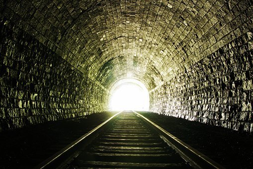
4. Tunnel surveying
Surveying tunnels and other underground paths is not a walk in the park. However, LiDAR technology can be used to survey tunnels. LiDAR tools, like drones, are airborne and mobile; thus, they can easily navigate through the tunnels. As a bonus, these LiDAR tools promote real-time monitoring of tunnels.
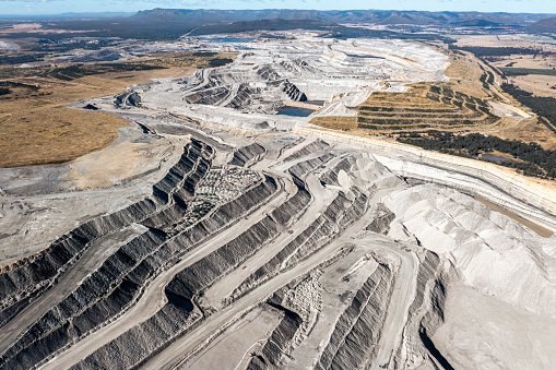
5. Exploring Quarries
In the Archeology industry, LiDAR has numerous applications. In this field, identifying minerals sites is challenging and tedious. However, LiDAR tools ease locating the mineral sites and provide spatial information about these regions. In addition, these tools are helpful in monitoring and controlling risks in the quarry sites.
6. Surveying sewers
Sewers and other manholes are too wide and deep, inhibiting humans from surveying them. Thankfully, LiDAR technology comes to the rescue. Being an air-related technology, most of its tools are airborne. That is this work from space. Therefore, they can be used to monitor and survey inaccessible sewers and manholes.
7. Assessing suitability
Civil engineering works are directly dependent on the suitability of the site. The site’s suitability in this context refers to the ability of the surrounding environment to support engineering works. For example, LiDAR technology helps determine the road’s gradient in road construction. LiDAR can assess other suitability factors in civil engineering, including the area of interest’s nature, quality, and security.
8. Monitoring
Monitoring is a critical task in all fields. In civil engineering, engineers employ LiDAR technology to monitor the site. This helps in controlling and reducing engineering-related risks. Some of the civil engineering sites are suited in areas that are impossible to physically access. In such cases, LiDAR technology may help monitor these areas.