
This afternoon, I needed to get out and enjoy the early spring air and sunshine. I popped on some headphones and opened up my current favorite podcast, Backstory. Delighted, I discovered that the most recent episode focuses on America’s relationship with freshwater resources. It starts with a primer on the quirks of America’s water law, relays the fascinating misfortune of colonial Jamestown’s water problems (and how brewing women saved the day), and the lasting legacy of racial segregation in public pools. It’s definitely worth a listen, even if there are a few too many water puns mid-show.
HAGeoDog determinedly steered me towards the trail along the Cuyahoga River, which winds through downtown Kent. The river and its clear influence on our town’s history provided the perfect visual setting from the stories I was hearing in the podcast. While I’ve taken this walk dozens of times in the nearly three years I’ve lived in Kent, I always find new things to appreciate along the way. Here are a few of today’s musings.
When I moved to glaciated northeastern Ohio, the last thing I was expecting was bedrock slot canyons, but here they are. There is a short reach of gorge within Kent, and a much more impressive gorge downstream in Cuyahoga Falls and Akron (but that is a story for another time). The stretch in Kent is known as Brady’s Leap, for a multi-layered story of an Army captain leaping the river in a single bound. The river is wider now then it was when it was leapt, having been blasted during construction of the Pennsylvania and Ohio Canal, and it is surely unleapable, but it is still unexpected and beautiful.
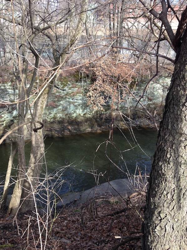
Bedrock gorge at Brady’s Leap, Cuyahoga River (Photo by A. Jefferson, March 2015).
A little way downstream, I can stand on former reservoir sediments in what is now a park, an look upstream at the Main Street Bridge. As I do, I can contemplate both what this place looked like until the dam came out in 2004, with much higher and stiller water than we see today, and the importance of river crossings in tying together the Kent community. No one else was going to leap to get across the river, so bridges were key, and their number has fluctuated over the two centuries of white settlement in this spot. Today, our town as 4 of them, and when one is closed as the Main Street bridge was all summer long, the river becomes a pretty good barrier to moving about.
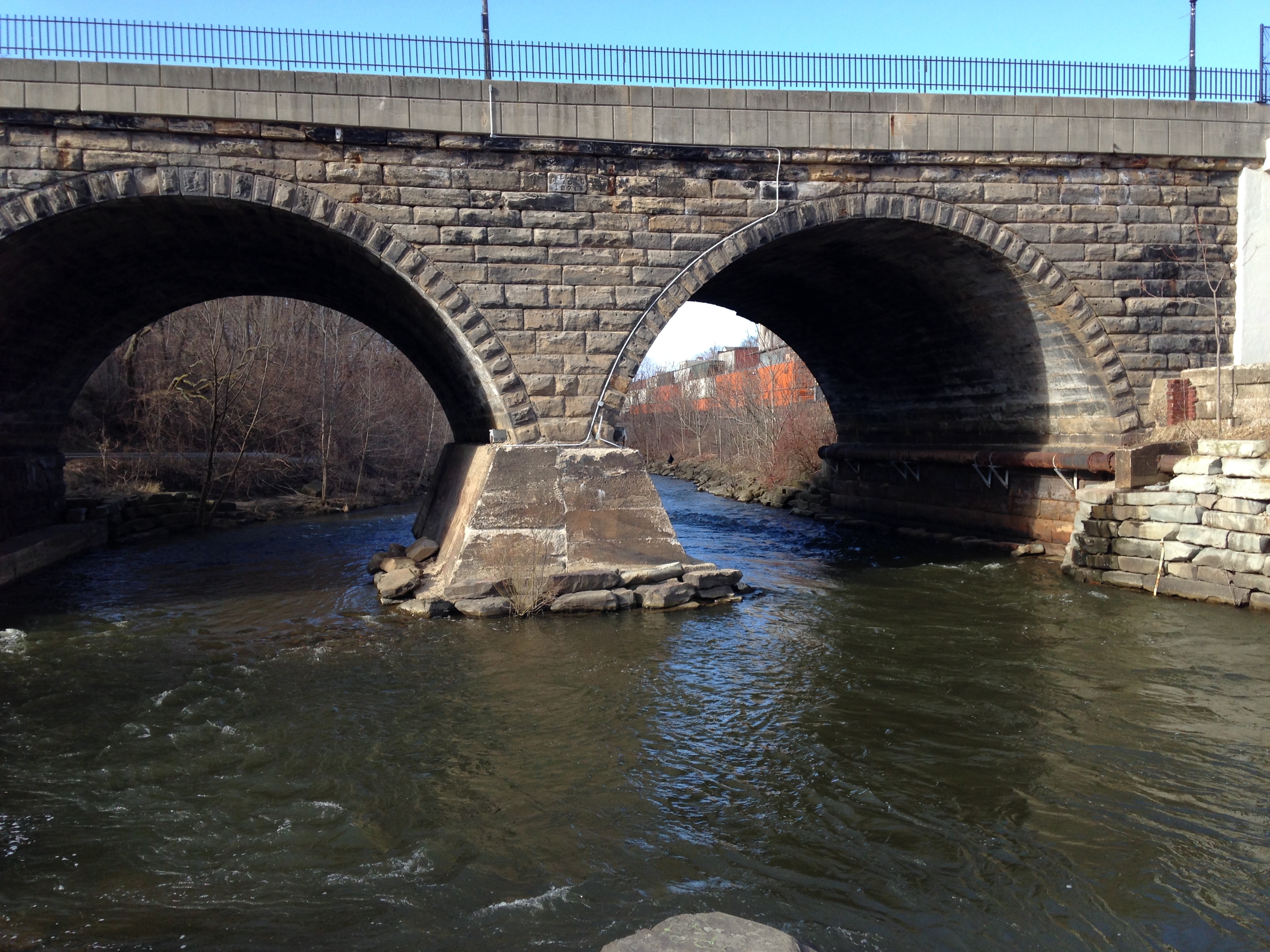
Main Street bridge, Kent. (Photo by A. Jefferson, March 2015)
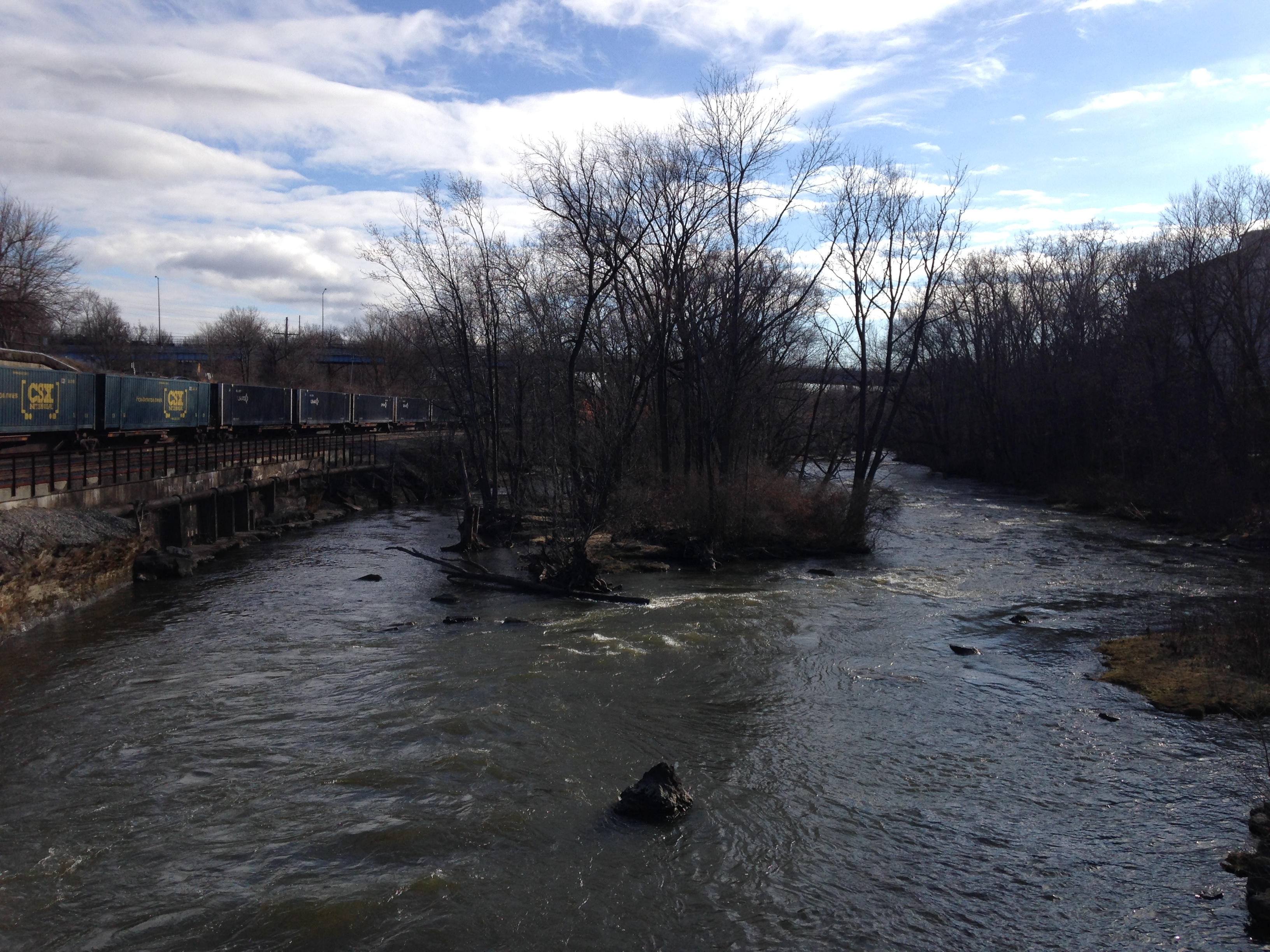
But rather than barriers, rivers have long been transportation corridors, and the Cuyahoga is no exception.
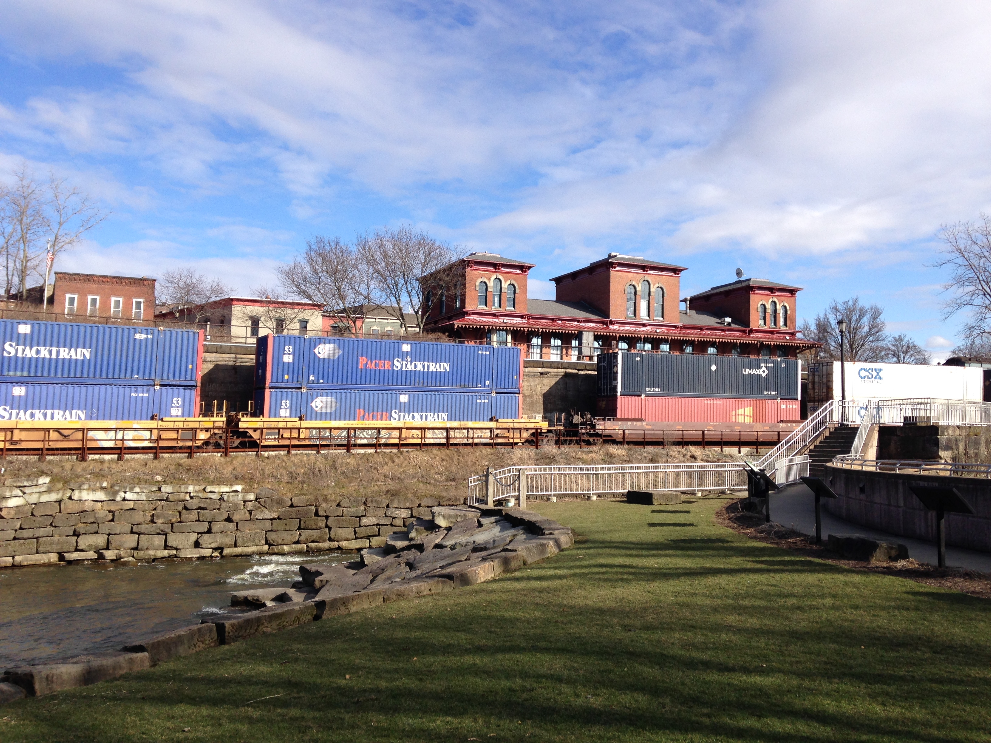
Rivers have long been transportation corridors. Historic Kent depot behind the modern freight train running next to the river, with its remnant lock system. (Photo by A. Jefferson, March 2015).
The lock, which dated from the short-lived Pennsylvania and Ohio Canal era (~1840-1857), blew out in the Great Flood of 1913 (see here for a photo of that event). But the lock is what saved the dam in 2004, because taking out the lock structure enabled the river to be free flowing through town, achieving the restoration objectives while preserving the heritage of the dam itself.
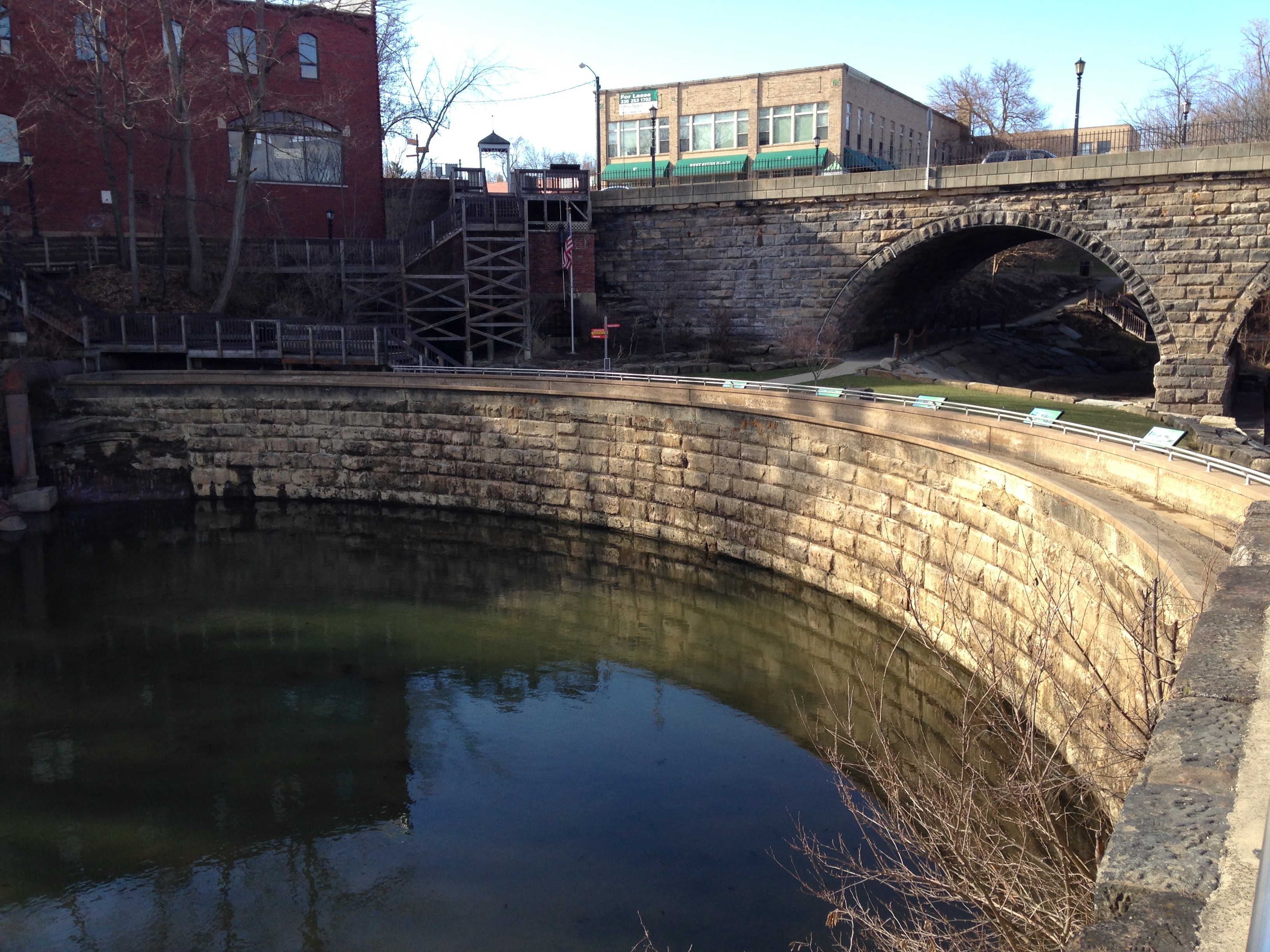
Kent dam. The city will turn on a recirculating pump and make water appear to flow over it when the weather is warmer. (Photo by A. Jefferson, March 2015)
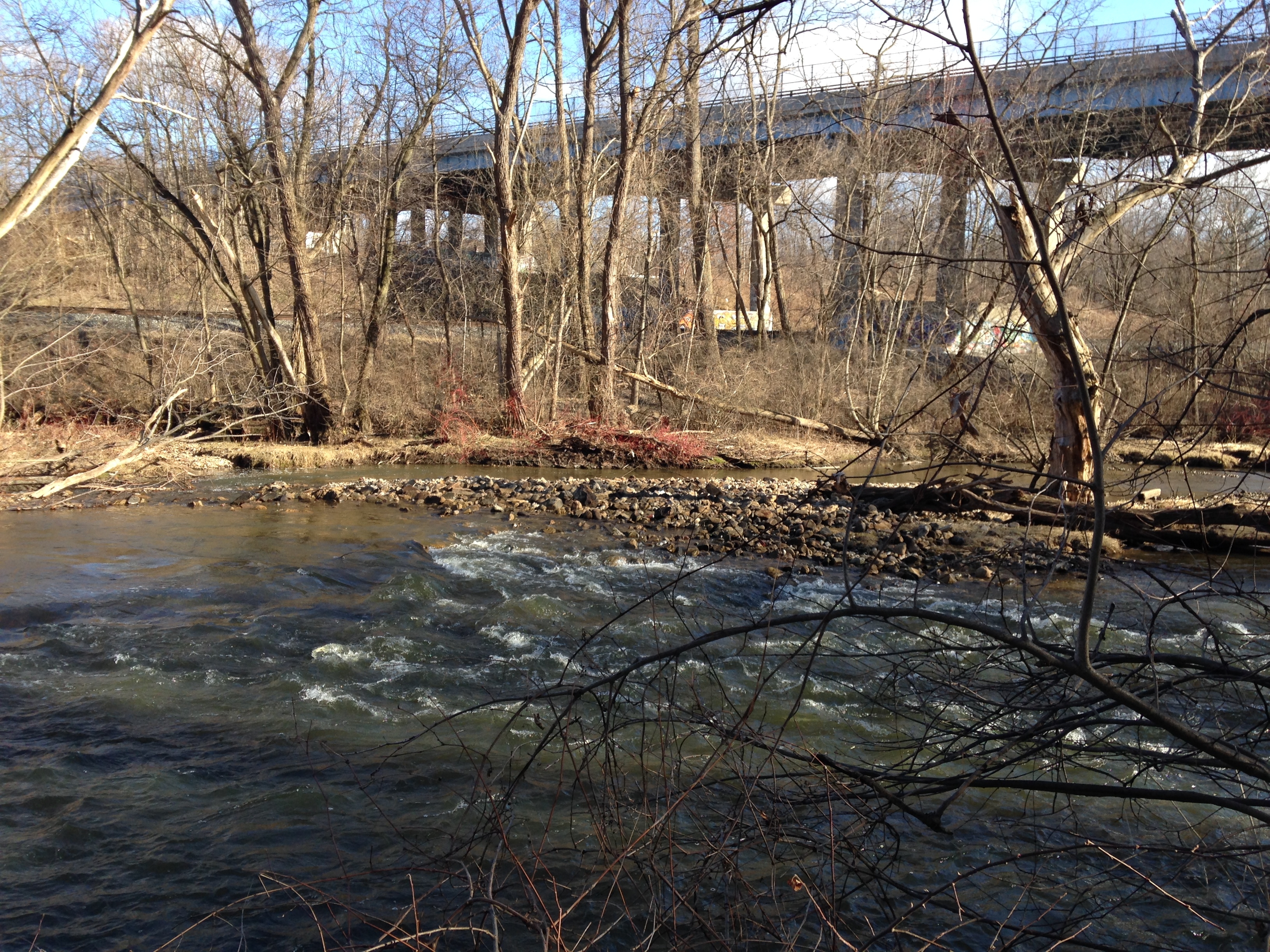
Looking downstream from the dam, the river appears to split into two channels with an island in between. When I first moved to town, I was puzzled by this apparent island braided reach, but I have since learned that this is yet another place where the legacy of the canal continues to shape the river. The left channel is the old canal itself, while the right thread is a pretty little mixed bedrock-alluvial reach.
Looking downstream from the Kent dam (Photo by A. Jefferson, March 2015).
It’s clear that while humans may have created the island 160+ years ago, the river is working to reshape it of it’s own accord. Several channels have been cut through to join the left and right threads of the river, and at the bottom of the island, there’s a beautiful gravel and boulder bar that changes every year.
Boulder bar in the Cuyahoga River, downtown Kent. (Photo by A. Jefferson, March 2015)
If I’ve learned one thing from thinking about the interweaving of human history and rivers, it’s that things never stay the same for very long. As we contemplate what can seem like insurmountable problems of politics, infrastructure, environmental degradation, or life, I think we would be wise to spend time by the river, flowing endlessly on while the trappings of our society come and go in its course.
If you like the intersection of history and geology, you might also enjoy this post from 2009 on Landsford Canal in South Carolina.


Nice plan for content warnings on Mastodon and the Fediverse. Now you need a Mastodon/Fediverse button on this blog.